High Wind Warning For Natrona County, Snow And Cold On The Way
High winds have made a return to the Casper area, with a High Wind Warning in effect until 11:00 p.m.Tuesday night. The National Weather Service says we can expect Southwest winds gusting up to 65 miles per hour, up to to 75 miles per hour Outer Drive on the south side of Casper, and in the Green mountains and Rattlesnake Range.
A wind gust of 66 mph was measured on Outer Drive at 1:30 Tuesday morning, and Outer Drive is currently closed to light, high profile vehicles due to the extreme blowover risk.
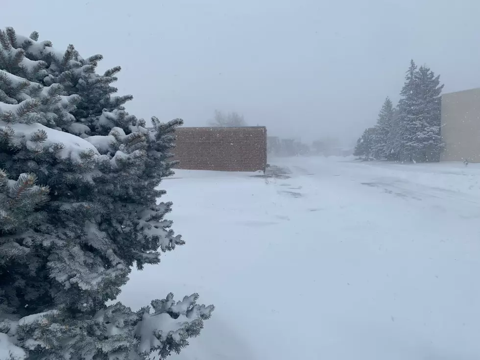
A return of winter is also in the forecast, with a chance of snow Tuesday night, and more on the way Wednesday night into Thursday. K2's meteorologist Don Day saysCasper and Central Wyoming is looking at a preliminary forecast of six inches of snow Wednesday night into Thursday with locally heavier amounts possible especially over and near Casper Mountain.
You can find our complete five day forecast HERE.
More From Rock 96.7