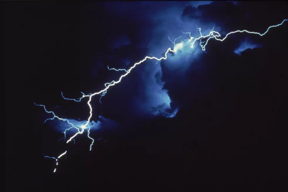
NWS: Numerous Severe Thunderstorms Possible for Casper Today
The Fourth of July could bring a number of severe thunderstorms for the Casper area, according to the National Weather Service.
In a severe weather outlook released early Thursday morning, the NWS said large hail, damaging winds and even an isolated tornado are possible.
Much of Wyoming is under only a marginal risk for storms, including Kemmerer, Rock Springs, Jackson, Dubois, Pinedale, Worland, Greybull, Buffalo and Cody.
Under an increased risk of storms -- rated a "slight" risk by NWS, which is a 2 on their scale of 5 -- are areas including Lander, Riverton and Thermopolis. However, the NWS is also warning of severe storms to the west and north of Lander and Riverton.
For most of Natrona County, including Casper, Bar Nunn, Powder River, Casper Mountain, as well as Glenrock and Douglas, an "enhanced" risk of storms exists. That means numerous severe storms are possible, with more persistent and/or more widespread storms, a few of them intense.
For the latest forecast and any EAS alerts, monitor local broadcast media.
More From Rock 96.7