Winter Storm Watch for Casper; 3-6 Inches of Snow Expected
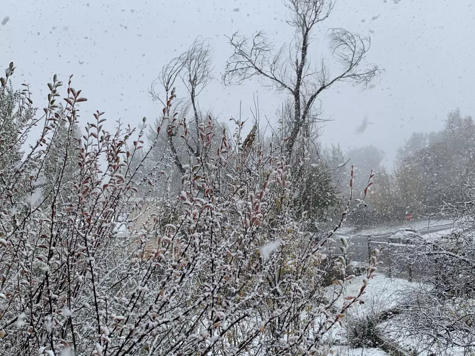
The National Weather Service has upgraded Casper to a winter storm watch beginning late Thursday, and forecasters have revised upward their predictions for snow accumulation.
Casper is now expected to see three to six inches of snow accumulation, with up to eight inches possible in some areas.
The winter storm watch, first issued Wednesday afternoon, is set to be in effect from late Thursday night through late Friday night.
Travel could be very difficult, the NWS warns, with hazardous conditions expected along I-25 and U.S. 20-26.
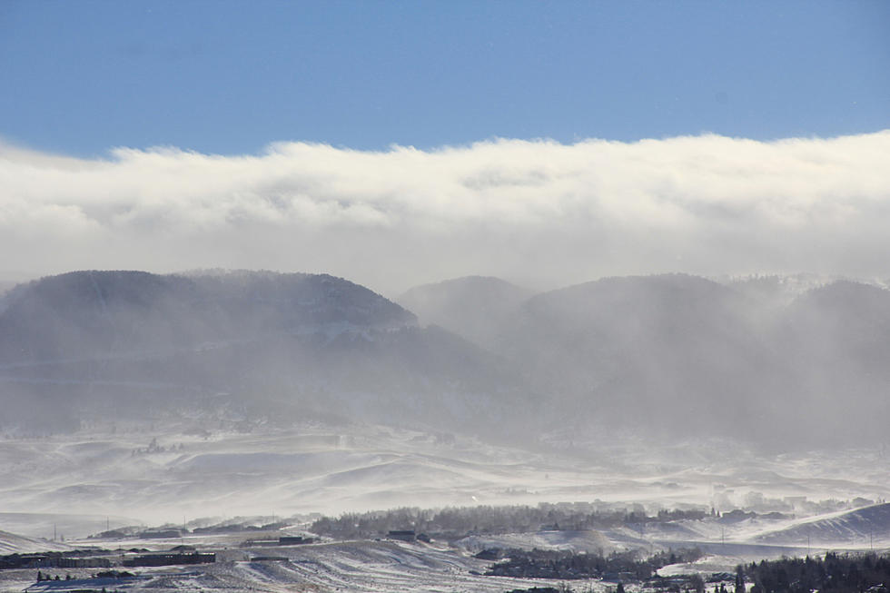
A cold front is set to pass through the region on Thursday, followed by precipitation and colder air. The weather service says rain will turn to snow late Thursday night, with significant snowfall possible across parts of central and southern Wyoming into Friday.
The winter storm watch covers Casper as well as the lower elevations of Natrona County.
For the latest road conditions, visit WyoRoad.info, call 511 or use the Wyoming 511 app.
More From Rock 96.7


![[VIDEO] Moose Gives Girl Warning For Invading His Personal Bubble](http://townsquare.media/site/103/files/2020/03/Untitled-design-6.png?w=980&q=75)