Travel Alert: ‘Very Poor’ Road Conditions Across Wyoming [VIDEO]
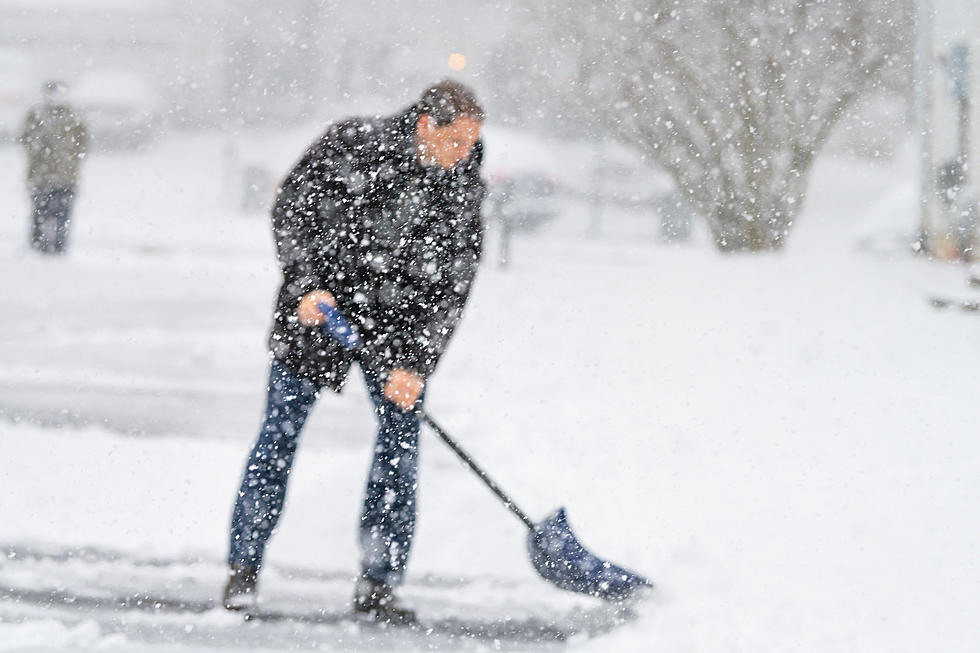
The first major winter storm of the season is expected to create 'very poor' travel conditions across much of Wyoming, and drivers will need to be prepared.
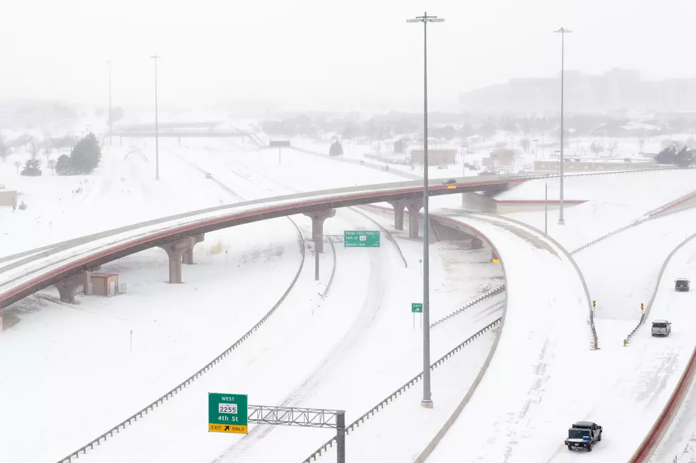
K2 Radio Meteorologist Don Day of Dayweather, Inc. says the storm will have high travel impacts on I-25, I-90 and I-80 from the Nebraska border to roughly Wamsutter. The worst travel conditions will exist from late Wednesday through Thursday in northern, central and eastern Wyoming.
As of Wednesday morning, the National Weather Service predicted four to eight inches of snow accumulation in Casper and lower elevations of Natrona County as the storm moves through.
Rain will turn to snow as temperatures plummet. Bridges, exit ramps and mountain passes will likely be very icy, posing significant hazards.
Day says areas of rain and snow will break out in the northwestern part of the state Wednesday, spreading into central and northeastern Wyoming by the afternoon.
Rain should turn to snow into the night, impacting nearly the entire state.
The impacted portion of I-80 will see areas of snow, blowing snow and icy conditions developing Wednesday evening overnight into Thursday.
I-25 between Colorado and Casper will also see considerable areas of blowing and drifting snow, Day says, with strong northwest winds Thursday.
Friday will see temperatures remain cold, but travel conditions are expected to improve as the day wears on.
More From Rock 96.7


![Winter Storm to Have High Impact on I-25, I-80 in Wyoming [VIDEO]](http://townsquare.media/site/101/files/2019/12/IMG_2265.jpg?w=980&q=75)
![WYDOT: Every Road in Wyoming to See Storm Impacts [VIDEO]](http://townsquare.media/site/99/files/2018/11/gettyimages-506282618-594x594.jpg?w=980&q=75)
![Winter Weather to Impact Travel All Across Wyoming [VIDEO]](http://townsquare.media/site/102/files/2016/03/Winter_Storm_Driving.png?w=980&q=75)