NWS: Storm Could Drop 20 Inches of Snow on Douglas, Glenrock
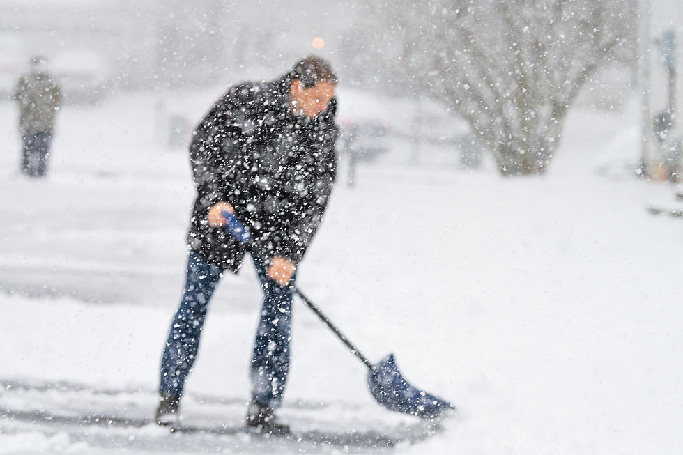
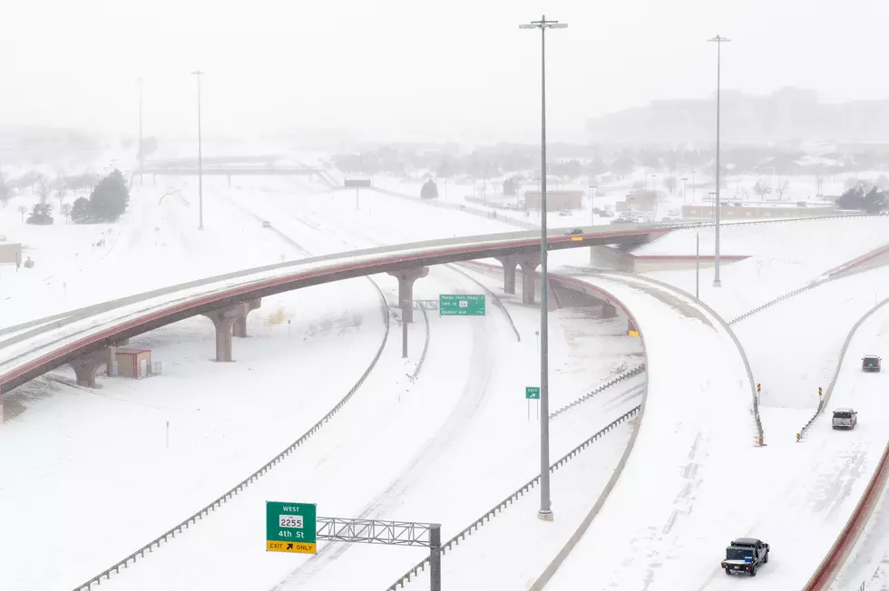
The forecast snow totals for parts of central and southeast Wyoming have been revised upwards in some areas as the storm settles into the region, causing travel headaches and dangerous road conditions.
A winter storm warning issued by the National Weather Service remains in effect for all or parts of 10 counties into Tuesday. The most significant snow accumulation is expected in the mountains, but a number of Wyoming cities will see high impacts as well.
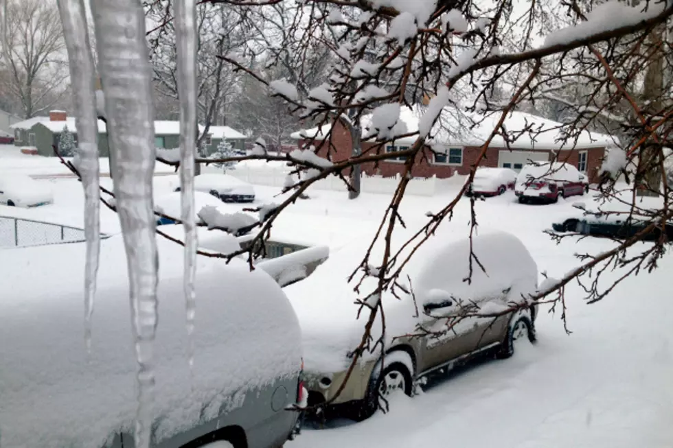
The NWS is calling for 10-20 inches of new snow accumulations in places like Douglas, Glenrock, Lusk, Wheatland, Guernsey, Torrington, Rawlins, Laramie and Cheyenne, to name a few.
In those areas, blowing snow is possible, especially Tuesday. Strong winds gusting up to 35-45 mph will reduce visibility to near zero with blowing snow.
Commuters, including those with holiday travel plans, should expect significant, lengthy delays. Anyone who must travel is advised to keep an extra flashlight, food and water in their vehicle in case of emergency.
Rock Springs and Green River will also see quite a bit of new snow, though not as much as their neighbors to the east. The area should receive four to eight inches of snow, with locally higher amounts up to a foot near McKinnon.
Casper is still under a winter weather advisory and on track to receive three to five inches of snow. The storm warning is in effect for Casper Mountain, though, where six inches to a foot of snow could pile up.
Lander and Jeffrey City should each see roughly four to eight inches of accumulation as a result of the storm.
For the latest road conditions, visit WyoRoad.info, call 511 or download the Wyoming 511 app.

More From Rock 96.7