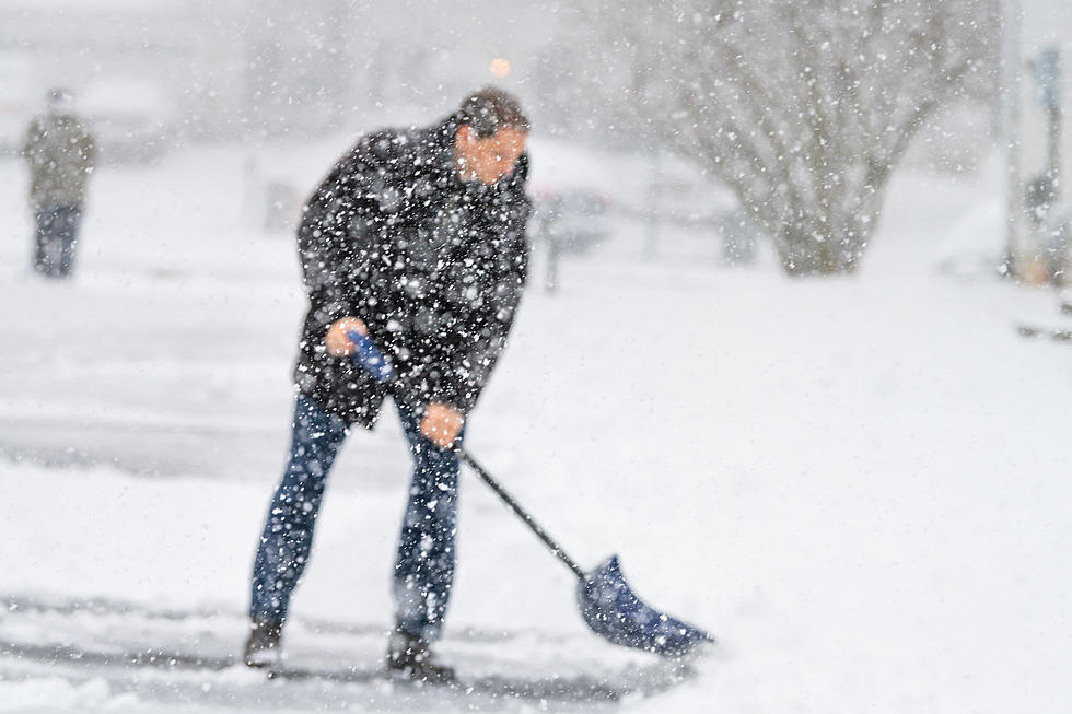
NWS: 3-5 Inches of Snow Likely in Casper, 4-7 on Casper Mountain
The National Weather Service issued a special weather statement early Saturday ahead of a winter storm expected to bring snowfall to much of Wyoming beginning late Saturday night through Sunday night.
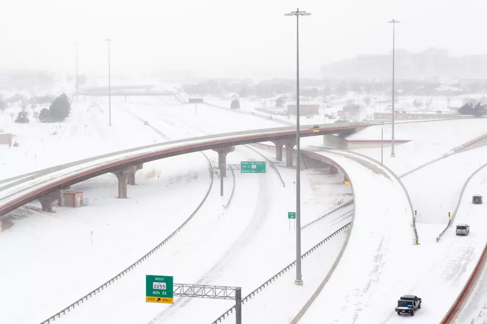
In Casper, the NWS now expects 3-5 inches of snow accumulation, with 4-7 inches of snow for Casper Mountain. As usual, winter driving conditions should result, with high travel impacts expected for parts of I-25 and I-80.
Also on Saturday, the NWS posted a winter storm warning for southwestern Converse County, northern and parts of southern Carbon County and northern Albany County. It includes the towns of Garrett, Medicine Bow and Seminoe Dam.
In the warning area, 4-9 inches of snow is expected with 10-14 inches in Seminoe, the Shirley and Ferris Mountains and North Laramie Range, where winds will gust up to 35 mph. Travel there could become very difficult, with areas of blowing snow potentially having a significant impact on visibility.
A winter storm watch is in effect for other areas of the state. In Lander, 5-7 inches of snow is expected, with 4-8 inches possible for the Rawlins-Arlington-Elk Mountain area.
For the latest road conditions in Wyoming and closure information, visit WyoRoad.info, call 511 or download the Wyoming 511 app.

More From Rock 96.7