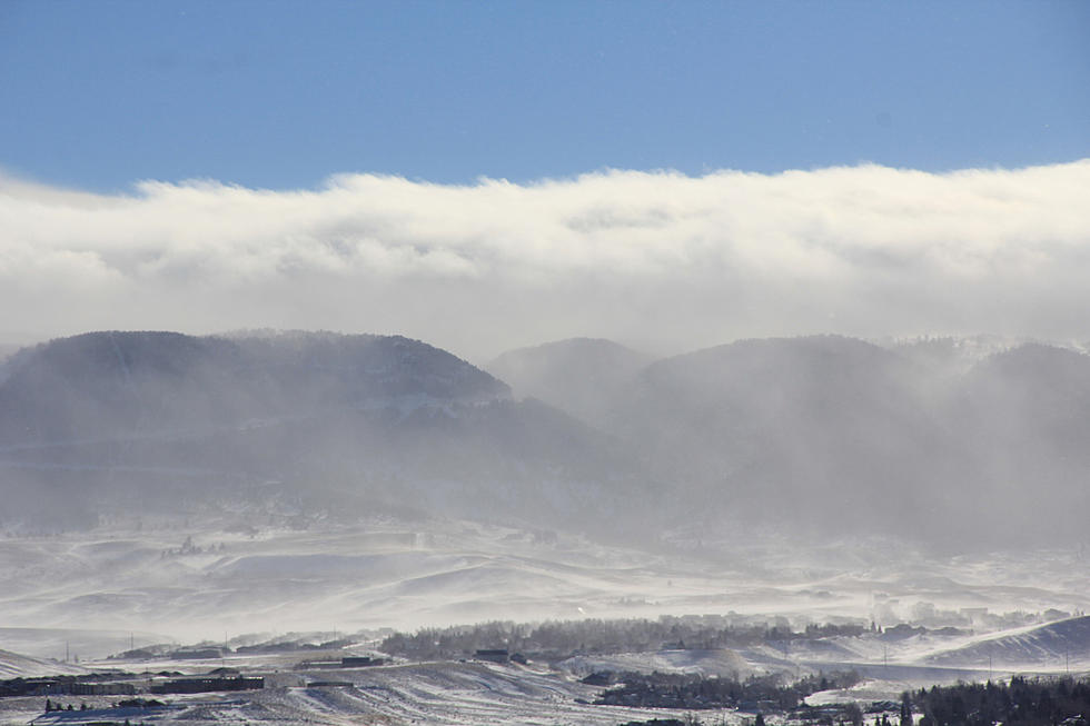
Casper Mountain Could Get 8-14 Inches of Snow Through Wednesday
Casper Mountain could see significant snow accumulation this week as a strong spring storm makes its way across the Cowboy State.
From 12 a.m. Tuesday through noon Wednesday, Casper Mountain is expected to see eight to 14 inches of accumulation. That's according to a winter weather advisory issued Monday by the National Weather Service.
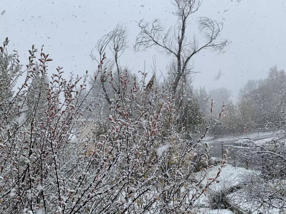
Travel in the area could be very difficult, with adverse weather conditions possibly impacting the morning and evening commute.
Eastern slopes of central Wyoming mountains have the best chance of seeing snow as the storm moves through, with snow levels as low as 6,000-7,000 feet.
Snow will have the best chance of accumulating overnight Monday into Tuesday, with a lull Tuesday afternoon.
Drivers should expect snow-covered roads and limited visibility.
The latest road conditions are available by calling 511, visiting WyoRoad.info or downloading the Wyoming 511 app.
More From Rock 96.7


![[VIDEO] Moose Gives Girl Warning For Invading His Personal Bubble](http://townsquare.media/site/103/files/2020/03/Untitled-design-6.png?w=980&q=75)